 vesseltracker.com
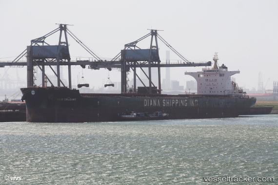
Find the position of the vessel New Orleans on the map. The latter are known coordinates and path.
marine traffic ship tracker show on live map
The current position of vessel New Orleans is -2.70333 lat / -7.02667 lng. Updated: 2024-05-07 13:24:33 UTCCurrently sailing under the flag of Marshall Is
Port of registry:
Majuro (coral atoll, capital of the Marshall Islands)Payload_mass:
180960 tonneGross tonnage:
94544Service entry:
2015-01-01T00:00:00ZManufacturer:
Shanghai Waigaoqiao ShipbuildingDetails:
Last coordinates of the vessel:
UTC, -2.97333, -6.83167, course: -1, speed: 7UTC, -2.93333, -6.86167, course: -1, speed: 7
UTC, -2.85333, -6.91667, course: -1, speed: 5
2024-05-07 13:24:33 UTC, -2.70333, -7.02667, course: -1, speed: 7