 vesseltracker.com
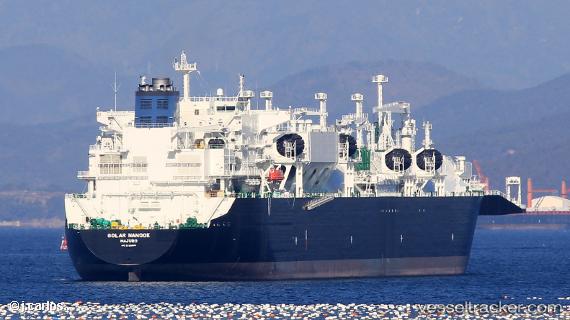
Find the position of the vessel Golar Nanook on the map. The latter are known coordinates and path.
marine traffic ship tracker show on live map
The current position of vessel Golar Nanook is -10.8567 lat / -36.8833 lng. Updated: 2024-04-29 00:52:05 UTCPort of registry:
Majuro (coral atoll, capital of the Marshall Islands)Payload_mass:
81747 tonneGross tonnage:
107049Service entry:
2018-01-01T00:00:00ZDetails:
Last coordinates of the vessel:
UTC, -10.8567, -36.8817, course: -1, speed: 0UTC, -10.8567, -36.8817, course: -1, speed: 0
UTC, -10.8572, -36.8834, course: 134, speed: 0
2024-04-29 00:52:05 UTC, -10.8567, -36.8833, course: -1, speed: 0