 vesseltracker.com
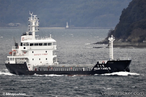
Find the position of the vessel Keum Yang 5 on the map. The latter are known coordinates and path.
marine traffic ship tracker show on live map
The current position of vessel Keum Yang 5 is 34.8896 lat / 127.687 lng. Updated: 2024-05-05 07:56:05 UTCPort of registry:
Jeju (city in South Korea)Payload_mass:
3563 tonneGross tonnage:
2347Service entry:
2017-01-01T00:00:00ZDetails:
Last coordinates of the vessel:
UTC, 34.8896, 127.687, course: 191, speed: 0UTC, 34.8896, 127.687, course: 184, speed: 0
UTC, 34.8896, 127.687, course: 196, speed: 0.1
2024-05-05 07:56:05 UTC, 34.8896, 127.687, course: 196, speed: 0.1