 vesseltracker.com
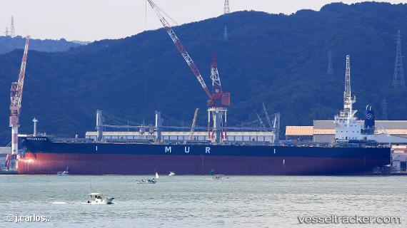
Find the position of the vessel African Batis on the map. The latter are known coordinates and path.
marine traffic ship tracker show on live map
The current position of vessel African Batis is 54.2525 lat / -159.009 lng. Updated: 2024-05-08 20:44:37 UTCCurrently sailing under the flag of Panama
Payload_mass:
66504 tonneGross tonnage:
38238Service entry:
2019-01-01T00:00:00ZDetails:
Last coordinates of the vessel:
UTC, 54.3503, -158.132, course: 259, speed: 11.3UTC, 54.331, -158.32, course: 258, speed: 11.4
UTC, 54.2826, -158.766, course: 257, speed: 11.8
2024-05-08 20:44:37 UTC, 54.2525, -159.009, course: 257, speed: 11.5