 vesseltracker.com
Find the position of the vessel Cap Port Arthur on the map. The latter are known coordinates and path.
marine traffic ship tracker show on live map
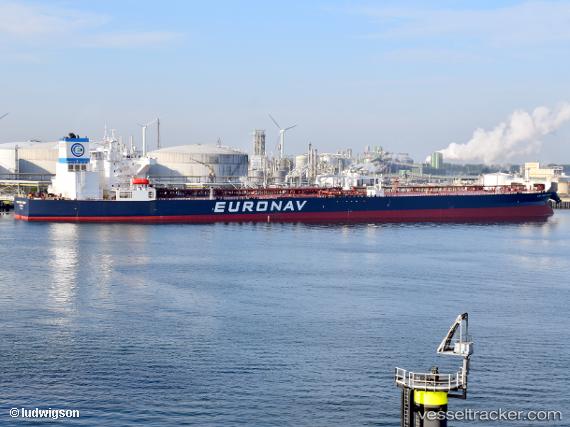
The current position of vessel Cap Port Arthur is 23.7757 lat / -81.7573 lng. Updated: 2024-05-07 15:21:35 UTCCurrently sailing under the flag of Greece
Port of registry:
Piraeus (city and port of Attica region, Greece)Payload_mass:
156049 tonneGross tonnage:
82099Service entry:
2018-01-01T00:00:00ZManufacturer:
Hyundai Samho Heavy Industries (company)Details:
Last coordinates of the vessel:
UTC, 23.7967, -81.2517, course: -1, speed: 8UTC, 23.7817, -81.295, course: -1, speed: 8
UTC, 23.775, -81.5417, course: -1, speed: 8
2024-05-07 15:21:35 UTC, 23.7757, -81.7573, course: 263, speed: 8.4