 vesseltracker.com
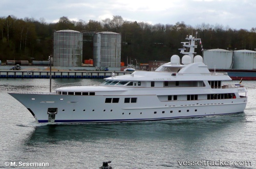
Vessel Jamaica Bay IMO: 1009936, MMSI: 538080029 Service Ship
UTC, 26.70454, -80.04603, course: 0, speed: 0
UTC, 26.70455, -80.04603, course: 0, speed: 0.1
2026-03-24 09:28:25 UTC, 26.70455, -80.04604, course: 0, speed: 0
Live Vessel Jamaica Bay Analytics (details, animations, etc.)
Live AIS position: UTC. Near Rivera Beach), updated 2026-03-24 09:28:25 UTC.Find the position of the vessel Jamaica Bay on the map. The latter are known coordinates and path.
marine traffic ship tracker show on live map
The current position of vessel Jamaica Bay is 26.70455 lat / -80.04604 lng. Updated: 2026-03-24 09:28:25 UTCDetails:
Last coordinates of the vessel:
UTC, 26.70455, -80.04604, course: 359, speed: 0UTC, 26.70454, -80.04603, course: 0, speed: 0
UTC, 26.70455, -80.04603, course: 0, speed: 0.1
2026-03-24 09:28:25 UTC, 26.70455, -80.04604, course: 0, speed: 0