 vesseltracker.com
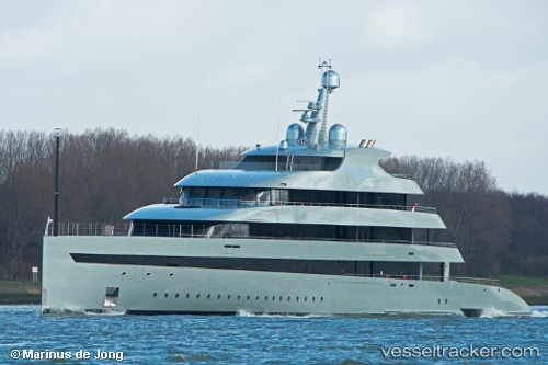
Vessel Savannah IMO: 1012517, MMSI: 538071192 Sailing Vessel
UTC, 17.01211, -61.77240, course: 248, speed: 0
UTC, 17.01211, -61.77238, course: 248, speed: 0
2026-02-19 23:26:14 UTC, 17.01215, -61.77238, course: 248, speed: 0
Live AIS position:
UTC. Near ANTIGUA),
updated 2026-02-19 23:26:14 UTC.
Find the position of the vessel Savannah on the map. The latter are known coordinates and path.
marine traffic ship tracker show on live map
The current position of vessel Savannah is 17.01215 lat / -61.77238 lng. Updated: 2026-02-19 23:26:14 UTCDetails:
Last coordinates of the vessel:
UTC, 17.01211, -61.77239, course: 248, speed: 0UTC, 17.01211, -61.77240, course: 248, speed: 0
UTC, 17.01211, -61.77238, course: 248, speed: 0
2026-02-19 23:26:14 UTC, 17.01215, -61.77238, course: 248, speed: 0