 vesseltracker.com
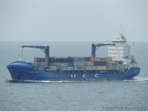
Vessel Contship Way IMO: 9435533, MMSI: 209594000 Container Ship
UTC, 6.45833, 113.21667, course: -1, speed: 14
UTC, 6.44219, 113.16191, course: -1, speed: 11.8
2026-03-05 00:01:18 UTC, 6.44219, 113.16191, course: -1, speed: 11.8
Live Vessel Contship Way Analytics (details, animations, etc.)
Live AIS position: UTC. 70 nm SW of Pulau Lang Lang), updated 2026-03-05 00:01:18 UTC.Find the position of the vessel Contship Way on the map. The latter are known coordinates and path.
marine traffic ship tracker show on live map
The current position of vessel Contship Way is 6.44219 lat / 113.16191 lng. Updated: 2026-03-05 00:01:18 UTCDetails:
Last coordinates of the vessel:
UTC, 6.60290, 113.65519, course: -1, speed: 14.3UTC, 6.45833, 113.21667, course: -1, speed: 14
UTC, 6.44219, 113.16191, course: -1, speed: 11.8
2026-03-05 00:01:18 UTC, 6.44219, 113.16191, course: -1, speed: 11.8