 vesseltracker.com
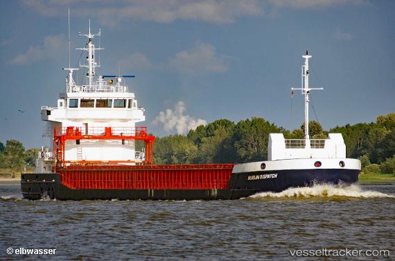
Vessel MIA MARIA IMO: 9518218, MMSI: 210172000 General Cargo
UTC, 48.85976, -5.33150, course: 68, speed: 10.8
UTC, 48.95922, -5.03304, course: 60, speed: 9.6
2026-02-25 09:31:51 UTC, 49.12374, -4.64113, course: 57, speed: 10.6
Live AIS position:
UTC. 19 nm W of Verzy),
updated 2026-02-25 09:31:51 UTC.
Find the position of the vessel MIA MARIA on the map. The latter are known coordinates and path.
marine traffic ship tracker show on live map
The current position of vessel MIA MARIA is 49.12374 lat / -4.64113 lng. Updated: 2026-02-25 09:31:51 UTCDetails:
Last coordinates of the vessel:
UTC, 48.51085, -5.77779, course: 28, speed: 9.9UTC, 48.85976, -5.33150, course: 68, speed: 10.8
UTC, 48.95922, -5.03304, course: 60, speed: 9.6
2026-02-25 09:31:51 UTC, 49.12374, -4.64113, course: 57, speed: 10.6