 vesseltracker.com
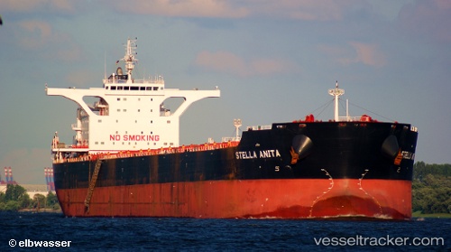
Vessel MICHALIS H IMO: 9637791, MMSI: 210439000 Bulk Carrier
UTC, -28.08833, 37.86667, course: -1, speed: 12
UTC, -28.13897, 37.49236, course: 259, speed: 12.3
2026-02-14 03:46:19 UTC, -28.20255, 37.06925, course: 263, speed: 12.4
Live AIS position:
UTC. 263 nm E of Richards Bay),
updated 2026-02-14 03:46:19 UTC.
Find the position of the vessel MICHALIS H on the map. The latter are known coordinates and path.
marine traffic ship tracker show on live map
The current position of vessel MICHALIS H is -28.20255 lat / 37.06925 lng. Updated: 2026-02-14 03:46:19 UTCCurrently sailing under the flag of Cyprus
MICHALIS H built in 2012 year
Deadweight:
180355 tDetails:
Last coordinates of the vessel:
UTC, -28.02333, 38.32167, course: -1, speed: 12UTC, -28.08833, 37.86667, course: -1, speed: 12
UTC, -28.13897, 37.49236, course: 259, speed: 12.3
2026-02-14 03:46:19 UTC, -28.20255, 37.06925, course: 263, speed: 12.4