 vesseltracker.com
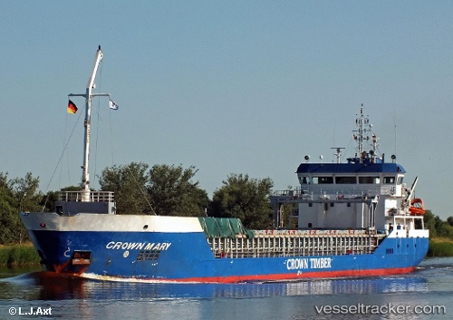
Vessel LARISSA B IMO: 9466219, MMSI: 210533000 General Cargo
UTC, 58.27071, 20.66478, course: 220, speed: 9.9
UTC, 58.27071, 20.66478, course: 220, speed: 9.9
2026-03-04 05:34:55 UTC, 57.71627, 19.77434, course: 221, speed: 10.1
Live AIS position:
UTC. 26 nm E of Strå),
updated 2026-03-04 05:34:55 UTC.
Find the position of the vessel LARISSA B on the map. The latter are known coordinates and path.
marine traffic ship tracker show on live map
The current position of vessel LARISSA B is 57.71627 lat / 19.77434 lng. Updated: 2026-03-04 05:34:55 UTCDetails:
Last coordinates of the vessel:
UTC, 58.48739, 21.02054, course: 222, speed: 9.7UTC, 58.27071, 20.66478, course: 220, speed: 9.9
UTC, 58.27071, 20.66478, course: 220, speed: 9.9
2026-03-04 05:34:55 UTC, 57.71627, 19.77434, course: 221, speed: 10.1