 vesseltracker.com
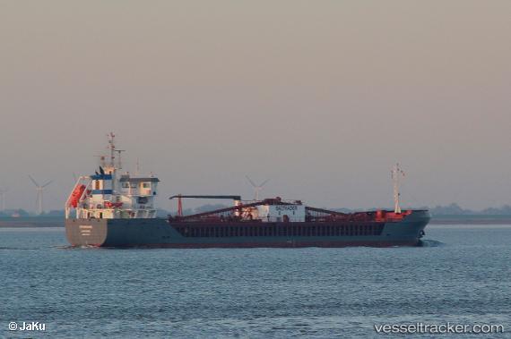
Vessel Cembrook IMO: 9731547, MMSI: 212690000 Cement Carrier
UTC, 38.73804, 0.45360, course: 2, speed: 9.2
UTC, 38.98552, 0.46054, course: 4, speed: 9.3
2026-03-24 11:42:07 UTC, 39.29870, 0.46958, course: 2, speed: 10.2
Live Vessel Cembrook Analytics (details, animations, etc.)
Live AIS position: UTC. 14 nm NW of Sumarcarcer), updated 2026-03-24 11:42:07 UTC.Find the position of the vessel Cembrook on the map. The latter are known coordinates and path.
marine traffic ship tracker show on live map
The current position of vessel Cembrook is 39.29870 lat / 0.46958 lng. Updated: 2026-03-24 11:42:07 UTCCurrently sailing under the flag of Cyprus
Details:
Last coordinates of the vessel:
UTC, 38.39108, 0.19098, course: 32, speed: 8.8UTC, 38.73804, 0.45360, course: 2, speed: 9.2
UTC, 38.98552, 0.46054, course: 4, speed: 9.3
2026-03-24 11:42:07 UTC, 39.29870, 0.46958, course: 2, speed: 10.2