 vesseltracker.com
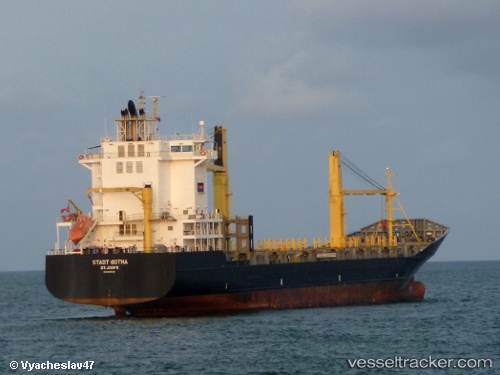
Vessel CARIBBEAN STAR IMO: 9395135, MMSI: 212850000 Container Ship
UTC, 26.16497, -78.92215, course: 104, speed: 16.5
UTC, 26.02333, -78.33667, course: -1, speed: 16
2026-02-27 08:07:59 UTC, 25.88550, -77.83618, course: 103, speed: 14.4
Live AIS position:
UTC. Near Great Stirrup Cay),
updated 2026-02-27 08:07:59 UTC.
Find the position of the vessel CARIBBEAN STAR on the map. The latter are known coordinates and path.
marine traffic ship tracker show on live map
The current position of vessel CARIBBEAN STAR is 25.88550 lat / -77.83618 lng. Updated: 2026-02-27 08:07:59 UTCCurrently sailing under the flag of Cyprus
Details:
Last coordinates of the vessel:
UTC, 26.16667, -79.38333, course: -1, speed: 15UTC, 26.16497, -78.92215, course: 104, speed: 16.5
UTC, 26.02333, -78.33667, course: -1, speed: 16
2026-02-27 08:07:59 UTC, 25.88550, -77.83618, course: 103, speed: 14.4