 vesseltracker.com
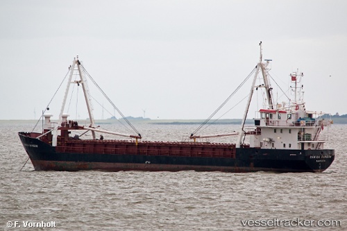
Vessel Danica Rainbow IMO: 8503979, MMSI: 219207000 General Cargo Ship
UTC, 32.54500, -75.18833, course: -1, speed: 7
UTC, 32.40167, -74.80500, course: -1, speed: 8
2026-02-19 22:12:38 UTC, 32.29167, -74.47500, course: -1, speed: 8
Live AIS position:
UTC. 121 nm NE of Willow Street),
updated 2026-02-19 22:12:38 UTC.
Find the position of the vessel Danica Rainbow on the map. The latter are known coordinates and path.
marine traffic ship tracker show on live map
The current position of vessel Danica Rainbow is 32.29167 lat / -74.47500 lng. Updated: 2026-02-19 22:12:38 UTCDetails:
Last coordinates of the vessel:
UTC, 32.59833, -75.33833, course: -1, speed: 7UTC, 32.54500, -75.18833, course: -1, speed: 7
UTC, 32.40167, -74.80500, course: -1, speed: 8
2026-02-19 22:12:38 UTC, 32.29167, -74.47500, course: -1, speed: 8