 vesseltracker.com
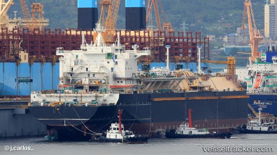
 British Achiever
Current Status
Where is the vessel?
British Achiever is currently in 154 nm N of Parnaíba, based on AIS data received about 1h ago.
Latest AIS update:
Current position: 0.45951° S, 41.04172° W (154 nm N of Parnaíba)
Average speed (last 7 days): Loading…
Average speed (last 30 days): Loading…
Vessel profile: British Achiever is a Lng Tanker with dimensions 295m x 46m.
This page combines live AIS, route history, probable destination signals, nearby traffic, and port activity for practical vessel monitoring.
The current position of vessel British Achiever is -0.45951 lat / -41.04172 lng. Updated: 2026-03-25 07:28:24 UTCNearest reference points:
- 81 nm N of Acarau
- 141 nm N of Itarema
- 53 nm N of Beija-Flor
Currently sailing under the flag of United Kingdom ![]()
Details:
Live Vessel British Achiever Analytics (details, animations, etc.)
Recent AIS points (UTC):
2026-03-25 01:35:41 UTC · -1.39031, -39.44384 · SOG 19.4 kn · COG 302°2026-03-25 03:50:16 UTC · -1.02956, -40.06300 · SOG 19.1 kn · COG 301°
2026-03-25 06:12:27 UTC · -0.65662, -40.70342 · SOG 18.7 kn · COG 302°
2026-03-25 07:28:24 UTC · -0.45951, -41.04172 · SOG 18.4 kn · COG 302°