 vesseltracker.com
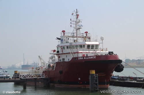
Vessel Trent Fisher IMO: 9489467, MMSI: 232016793 Offshore Tug Supply Ship
UTC, 53.57790, -0.07563, course: -1, speed: 0
UTC, 53.57796, -0.07573, course: -1, speed: 0
2026-02-28 04:02:54 UTC, 53.57780, -0.07547, course: 172, speed: 1.1
Live AIS position:
UTC. Near Grimsby),
updated 2026-02-28 04:02:54 UTC.
Find the position of the vessel Trent Fisher on the map. The latter are known coordinates and path.
marine traffic ship tracker show on live map
The current position of vessel Trent Fisher is 53.57780 lat / -0.07547 lng. Updated: 2026-02-28 04:02:54 UTCCurrently sailing under the flag of United Kingdom
Trent Fisher built in 2009 year
Deadweight:
1347 tDetails:
Last coordinates of the vessel:
UTC, 53.57792, -0.07575, course: -1, speed: 0UTC, 53.57790, -0.07563, course: -1, speed: 0
UTC, 53.57796, -0.07573, course: -1, speed: 0
2026-02-28 04:02:54 UTC, 53.57780, -0.07547, course: 172, speed: 1.1