 vesseltracker.com
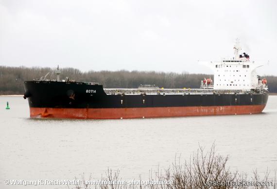
Vessel CONSTANTIA IMO: 9492347, MMSI: 232027093 Bulk Carrier
UTC, 35.51508, 29.92471, course: -1, speed: 12.6
UTC, 35.57444, 30.58838, course: -1, speed: 12.6
2026-02-27 05:35:26 UTC, 35.61631, 31.09232, course: -1, speed: 12.5
Live AIS position:
UTC. 61 nm SE of FINIKE),
updated 2026-02-27 05:35:26 UTC.
Find the position of the vessel CONSTANTIA on the map. The latter are known coordinates and path.
marine traffic ship tracker show on live map
The current position of vessel CONSTANTIA is 35.61631 lat / 31.09232 lng. Updated: 2026-02-27 05:35:26 UTCCurrently sailing under the flag of Isle of Man
CONSTANTIA built in 2012 year
Deadweight:
178010 tDetails:
Last coordinates of the vessel:
UTC, 35.48777, 29.59733, course: -1, speed: 12.6UTC, 35.51508, 29.92471, course: -1, speed: 12.6
UTC, 35.57444, 30.58838, course: -1, speed: 12.6
2026-02-27 05:35:26 UTC, 35.61631, 31.09232, course: -1, speed: 12.5