 vesseltracker.com
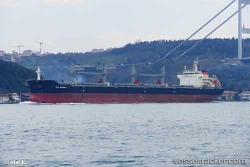
Vessel MYRA BAY IMO: 9626986, MMSI: 232056058 Cargo
UTC, 5.94726, 79.41854, course: 286, speed: 12.2
UTC, 5.99445, 79.26390, course: 282, speed: 12.6
2026-03-24 20:35:53 UTC, 6.07482, 78.97160, course: 285, speed: 11.9
Live Vessel MYRA BAY Analytics (details, animations, etc.)
Live AIS position: UTC. 64 nm W of Bentota River Apt), updated 2026-03-24 20:35:53 UTC.Find the position of the vessel MYRA BAY on the map. The latter are known coordinates and path.
marine traffic ship tracker show on live map
The current position of vessel MYRA BAY is 6.07482 lat / 78.97160 lng. Updated: 2026-03-24 20:35:53 UTCCurrently sailing under the flag of United Kingdom
Details:
Last coordinates of the vessel:
UTC, 5.86365, 79.88265, course: -1, speed: 12.3UTC, 5.94726, 79.41854, course: 286, speed: 12.2
UTC, 5.99445, 79.26390, course: 282, speed: 12.6
2026-03-24 20:35:53 UTC, 6.07482, 78.97160, course: 285, speed: 11.9