 vesseltracker.com
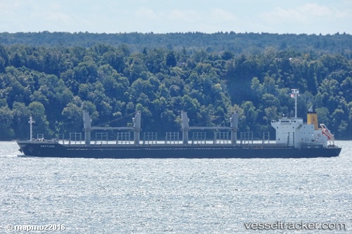
Vessel DARYA TAPTI IMO: 9712462, MMSI: 236756000 Cargo
UTC, -5.06348, 100.31178, course: 301, speed: 11.6
UTC, -4.97823, 100.15532, course: 301, speed: 11.5
2026-02-25 07:23:10 UTC, -4.97823, 100.15532, course: 301, speed: 11.5
Live AIS position:
UTC. 212 nm S of Muara Siberut),
updated 2026-02-25 07:23:10 UTC.
Find the position of the vessel DARYA TAPTI on the map. The latter are known coordinates and path.
marine traffic ship tracker show on live map
The current position of vessel DARYA TAPTI is -4.97823 lat / 100.15532 lng. Updated: 2026-02-25 07:23:10 UTCCurrently sailing under the flag of Gibraltar
Details:
Last coordinates of the vessel:
UTC, -5.32667, 100.80833, course: -1, speed: 10UTC, -5.06348, 100.31178, course: 301, speed: 11.6
UTC, -4.97823, 100.15532, course: 301, speed: 11.5
2026-02-25 07:23:10 UTC, -4.97823, 100.15532, course: 301, speed: 11.5