 vesseltracker.com
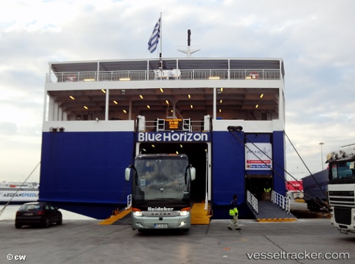
Vessel Blue Horizon IMO: 8616336, MMSI: 239575000 Passenger Ro Ro Cargo Ship
UTC, 38.19968, 21.30697, course: 216, speed: 20.7
UTC, 38.19968, 21.30697, course: 216, speed: 20.7
2026-01-15 22:54:40 UTC, 38.19968, 21.30697, course: 216, speed: 20.7
Live AIS position:
UTC. Near Araxos),
updated 2026-01-15 22:54:40 UTC.
Find the position of the vessel Blue Horizon on the map. The latter are known coordinates and path.
marine traffic ship tracker show on live map
The current position of vessel Blue Horizon is 38.19968 lat / 21.30697 lng. Updated: 2026-01-15 22:54:40 UTCDetails:
Last coordinates of the vessel:
UTC, 38.23762, 21.69318, course: 268, speed: 16.4UTC, 38.19968, 21.30697, course: 216, speed: 20.7
UTC, 38.19968, 21.30697, course: 216, speed: 20.7
2026-01-15 22:54:40 UTC, 38.19968, 21.30697, course: 216, speed: 20.7