 vesseltracker.com
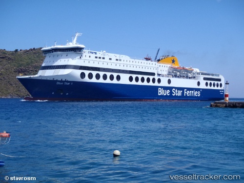
Vessel Blue Star 1 IMO: 9197105, MMSI: 239710000 Passenger Ro Ro Cargo Ship
UTC, 37.93983, 23.62799, course: -1, speed: 9.2
UTC, 37.52045, 24.22783, course: -1, speed: 25.8
2026-02-26 07:24:57 UTC, 37.29783, 24.77450, course: -1, speed: 25.6
Live AIS position:
UTC. 11 nm SW of Syra Island),
updated 2026-02-26 07:24:57 UTC.
Find the position of the vessel Blue Star 1 on the map. The latter are known coordinates and path.
marine traffic ship tracker show on live map
The current position of vessel Blue Star 1 is 37.29783 lat / 24.77450 lng. Updated: 2026-02-26 07:24:57 UTCCurrently sailing under the flag of Greece
Blue Star 1 built in 2000 year
Deadweight:
4500 tDetails:
Last coordinates of the vessel:
UTC, 37.94116, 23.63133, course: -1, speed: 0UTC, 37.93983, 23.62799, course: -1, speed: 9.2
UTC, 37.52045, 24.22783, course: -1, speed: 25.8
2026-02-26 07:24:57 UTC, 37.29783, 24.77450, course: -1, speed: 25.6