 vesseltracker.com
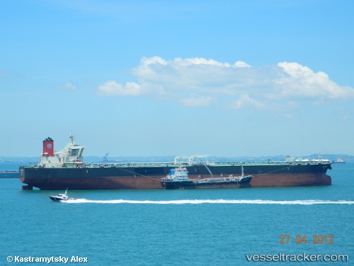
Vessel MARAN LUPUS IMO: 9418066, MMSI: 241724000 Crude Oil Tanker
UTC, -37.13017, 23.71440, course: 108, speed: 13.1
UTC, -37.28892, 24.24705, course: 112, speed: 13.1
2026-02-26 22:24:36 UTC, -37.44678, 24.79050, course: 112, speed: 13.8
Live AIS position:
UTC. 196 nm S of Cape St. Francis),
updated 2026-02-26 22:24:36 UTC.
Find the position of the vessel MARAN LUPUS on the map. The latter are known coordinates and path.
marine traffic ship tracker show on live map
The current position of vessel MARAN LUPUS is -37.44678 lat / 24.79050 lng. Updated: 2026-02-26 22:24:36 UTCCurrently sailing under the flag of Greece
MARAN LUPUS built in 2009 year
Deadweight:
318080 tDetails:
Last coordinates of the vessel:
UTC, -37.03945, 23.14932, course: 101, speed: 12.7UTC, -37.13017, 23.71440, course: 108, speed: 13.1
UTC, -37.28892, 24.24705, course: 112, speed: 13.1
2026-02-26 22:24:36 UTC, -37.44678, 24.79050, course: 112, speed: 13.8