 vesseltracker.com
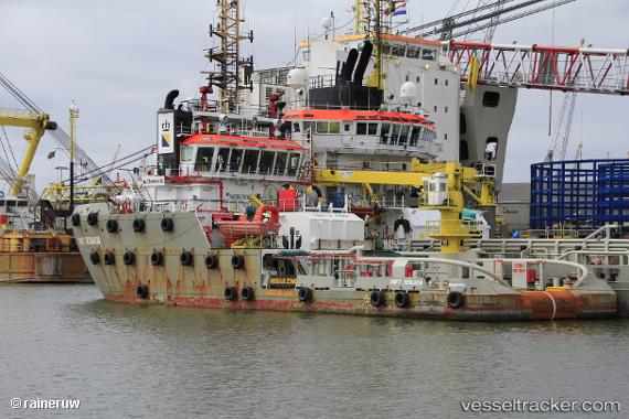
Vessel SEA SERAYA IMO: 9662368, MMSI: 244480000 Anchor Handling Vessel
UTC, 27.02667, -56.65833, course: -1, speed: 11
UTC, 26.99667, -57.02667, course: -1, speed: 11
2026-02-28 00:31:23 UTC, 26.96550, -57.58479, course: 266, speed: 10.9
Live AIS position:
UTC. 97 nm N of Villa Elisa),
updated 2026-02-28 00:31:23 UTC.
Find the position of the vessel SEA SERAYA on the map. The latter are known coordinates and path.
marine traffic ship tracker show on live map
The current position of vessel SEA SERAYA is 26.96550 lat / -57.58479 lng. Updated: 2026-02-28 00:31:23 UTCCurrently sailing under the flag of Netherlands
Details:
Last coordinates of the vessel:
UTC, 27.05500, -56.19667, course: -1, speed: 11UTC, 27.02667, -56.65833, course: -1, speed: 11
UTC, 26.99667, -57.02667, course: -1, speed: 11
2026-02-28 00:31:23 UTC, 26.96550, -57.58479, course: 266, speed: 10.9