 vesseltracker.com
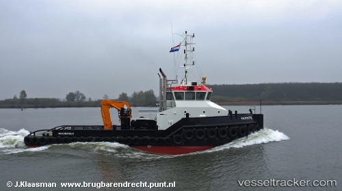
Vessel Wil S IMO: 9688867, MMSI: 244630433 Tug
UTC, 36.63453, -8.72288, course: -1, speed: 8.1
UTC, 36.76601, -9.16011, course: -1, speed: 7.9
2026-02-28 17:39:11 UTC, 36.88183, -9.28999, course: -1, speed: 6.5
Live AIS position:
UTC. 19 nm W of Sagres),
updated 2026-02-28 17:39:11 UTC.
Find the position of the vessel Wil S on the map. The latter are known coordinates and path.
marine traffic ship tracker show on live map
The current position of vessel Wil S is 36.88183 lat / -9.28999 lng. Updated: 2026-02-28 17:39:11 UTCCurrently sailing under the flag of Netherlands
Details:
Last coordinates of the vessel:
UTC, 36.54178, -8.38976, course: 290, speed: 8.1UTC, 36.63453, -8.72288, course: -1, speed: 8.1
UTC, 36.76601, -9.16011, course: -1, speed: 7.9
2026-02-28 17:39:11 UTC, 36.88183, -9.28999, course: -1, speed: 6.5