 vesseltracker.com
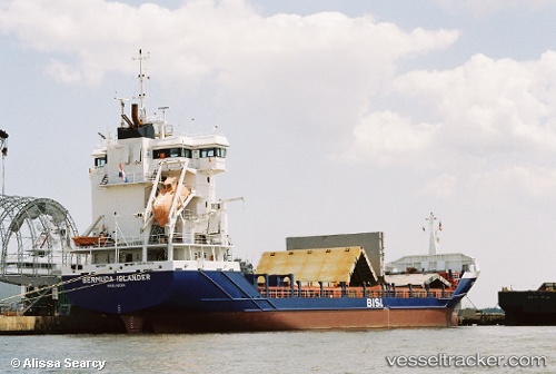
Vessel Bermuda Islander IMO: 9234434, MMSI: 244820000 Container Ship
UTC, 35.66167, -70.42333, course: -1, speed: 13
UTC, 35.51167, -70.02833, course: -1, speed: 13
2026-03-25 02:30:20 UTC, 35.45167, -69.87500, course: -1, speed: 12
Live Vessel Bermuda Islander Analytics (details, animations, etc.)
Live AIS position: UTC. 129 nm NE of Ben Slimane), updated 2026-03-25 02:30:20 UTC.Find the position of the vessel Bermuda Islander on the map. The latter are known coordinates and path.
marine traffic ship tracker show on live map
The current position of vessel Bermuda Islander is 35.45167 lat / -69.87500 lng. Updated: 2026-03-25 02:30:20 UTCDetails:
Last coordinates of the vessel:
UTC, 36.07708, -71.13631, course: 126, speed: 14.9UTC, 35.66167, -70.42333, course: -1, speed: 13
UTC, 35.51167, -70.02833, course: -1, speed: 13
2026-03-25 02:30:20 UTC, 35.45167, -69.87500, course: -1, speed: 12