 vesseltracker.com
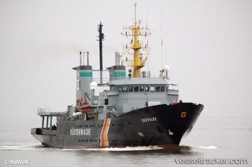
Vessel GAIA BLU IMO: 7928677, MMSI: 247442600 Research Vessel
UTC, 40.84358, 14.27313, course: 179, speed: 0
UTC, 40.84359, 14.27314, course: 179, speed: 0
2026-02-09 14:28:28 UTC, 40.84358, 14.27314, course: 179, speed: 0
Live AIS position:
UTC. Near Naples),
updated 2026-02-09 14:28:28 UTC.
Find the position of the vessel GAIA BLU on the map. The latter are known coordinates and path.
marine traffic ship tracker show on live map
The current position of vessel GAIA BLU is 40.84358 lat / 14.27314 lng. Updated: 2026-02-09 14:28:28 UTCCurrently sailing under the flag of Italy
GAIA BLU built in 1981 year
Deadweight:
248 tDetails:
Last coordinates of the vessel:
UTC, 40.84358, 14.27313, course: 179, speed: 0UTC, 40.84358, 14.27313, course: 179, speed: 0
UTC, 40.84359, 14.27314, course: 179, speed: 0
2026-02-09 14:28:28 UTC, 40.84358, 14.27314, course: 179, speed: 0