 vesseltracker.com
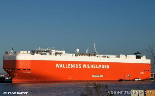
Vessel Toscana IMO: 9398333, MMSI: 248912000 Vehicles Carrier
UTC, 11.14717, -17.59228, course: 339, speed: 17.1
UTC, 11.74267, -17.81270, course: 342, speed: 16.9
2026-03-20 12:01:48 UTC, 11.70618, -17.80044, course: 342, speed: 16.6
Live Vessel Toscana Analytics (details, animations, etc.)
Live AIS position: UTC. 74 nm SW of Cap Skiring), updated 2026-03-20 12:01:48 UTC.Find the position of the vessel Toscana on the map. The latter are known coordinates and path.
marine traffic ship tracker show on live map
The current position of vessel Toscana is 11.70618 lat / -17.80044 lng. Updated: 2026-03-20 12:01:48 UTCCurrently sailing under the flag of Malta
Toscana built in 2009 year
Deadweight:
22250 tDetails:
Last coordinates of the vessel:
UTC, 10.12092, -16.96533, course: 322, speed: 17UTC, 11.14717, -17.59228, course: 339, speed: 17.1
UTC, 11.74267, -17.81270, course: 342, speed: 16.9
2026-03-20 12:01:48 UTC, 11.70618, -17.80044, course: 342, speed: 16.6