 vesseltracker.com
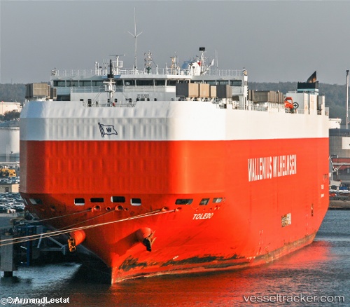
Vessel Toledo IMO: 9293624, MMSI: 248917000 Vehicles Carrier
UTC, 19.72489, -83.95520, course: 317, speed: 15.1
UTC, 20.12853, -84.36007, course: 321, speed: 13.9
2026-03-24 17:39:32 UTC, 20.47573, -84.71075, course: 320, speed: 13.9
Live Vessel Toledo Analytics (details, animations, etc.)
Live AIS position: UTC. 84 nm S of Yucatan Channel), updated 2026-03-24 17:39:32 UTC.Find the position of the vessel Toledo on the map. The latter are known coordinates and path.
marine traffic ship tracker show on live map
The current position of vessel Toledo is 20.47573 lat / -84.71075 lng. Updated: 2026-03-24 17:39:32 UTCDetails:
Last coordinates of the vessel:
UTC, 19.33275, -83.56587, course: 319, speed: 14.6UTC, 19.72489, -83.95520, course: 317, speed: 15.1
UTC, 20.12853, -84.36007, course: 321, speed: 13.9
2026-03-24 17:39:32 UTC, 20.47573, -84.71075, course: 320, speed: 13.9