 vesseltracker.com
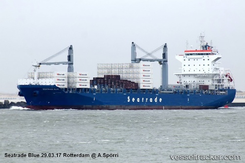
Vessel CMA CGM BLUE IMO: 9756107, MMSI: 249205000 Cargo
UTC, 40.04705, -32.25205, course: 271, speed: 17.8
UTC, 40.04500, -33.21333, course: -1, speed: 17
2026-03-01 00:01:56 UTC, 40.04333, -33.90500, course: -1, speed: 16
Live AIS position:
UTC. 35 nm SW of San Fernando de Henares),
updated 2026-03-01 00:01:56 UTC.
Find the position of the vessel CMA CGM BLUE on the map. The latter are known coordinates and path.
marine traffic ship tracker show on live map
The current position of vessel CMA CGM BLUE is 40.04333 lat / -33.90500 lng. Updated: 2026-03-01 00:01:56 UTCCurrently sailing under the flag of Malta
Details:
Last coordinates of the vessel:
UTC, 40.04833, -31.67667, course: -1, speed: 17UTC, 40.04705, -32.25205, course: 271, speed: 17.8
UTC, 40.04500, -33.21333, course: -1, speed: 17
2026-03-01 00:01:56 UTC, 40.04333, -33.90500, course: -1, speed: 16