 vesseltracker.com
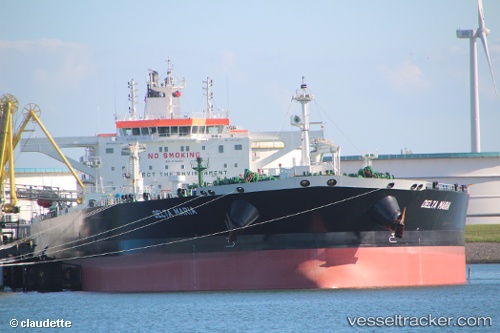
 DELTA MARIA
Current Status
Where is the vessel?
DELTA MARIA is currently in 117 nm SW of Sagres, based on AIS data received about 1h ago.
Latest AIS update:
Current position: 35.36894° N, 10.24714° W (117 nm SW of Sagres)
Average speed (last 7 days): Loading…
Average speed (last 30 days): Loading…
Vessel profile: DELTA MARIA is a Tanker with dimensions m x m.
This page combines live AIS, route history, probable destination signals, nearby traffic, and port activity for practical vessel monitoring.
The current position of vessel DELTA MARIA is 35.36894 lat / -10.24714 lng. Updated: 2026-03-25 16:08:37 UTCNearest reference points:
- 112 nm N of El Jadida
- 54 nm W of Sagres
- 34 nm N of Jarjis
Currently sailing under the flag of Malta ![]()
Details:
Live Vessel DELTA MARIA Analytics (details, animations, etc.)
Recent AIS points (UTC):
2026-03-25 06:25:08 UTC · 35.31932, -9.74541 · SOG 2.6 kn · COG 321°2026-03-25 11:35:56 UTC · 35.36221, -10.01496 · SOG 2.8 kn · COG 312°
2026-03-25 13:30:07 UTC · 35.36821, -10.11825 · SOG 2.7 kn · COG 307°
2026-03-25 16:08:37 UTC · 35.36894, -10.24714 · SOG 2.2 kn · COG 290°