 vesseltracker.com
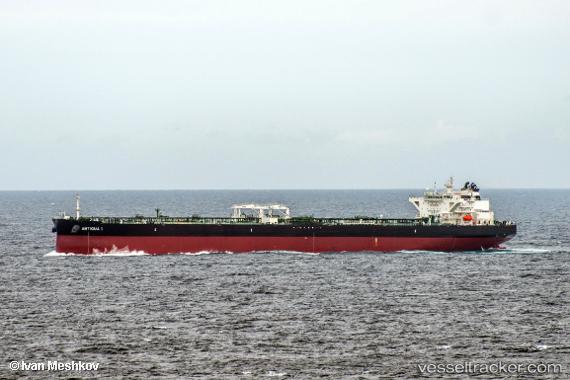
Vessel Antigua I IMO: 9753363, MMSI: 249611000 Crude Oil Tanker
UTC, 8.87833, 69.25333, course: -1, speed: 12
UTC, 8.69667, 69.83500, course: -1, speed: 12
2026-02-27 17:38:13 UTC, 8.62000, 70.08167, course: -1, speed: 12
Live AIS position:
UTC. 131 nm SE of Tinaquillo),
updated 2026-02-27 17:38:13 UTC.
Find the position of the vessel Antigua I on the map. The latter are known coordinates and path.
marine traffic ship tracker show on live map
The current position of vessel Antigua I is 8.62000 lat / 70.08167 lng. Updated: 2026-02-27 17:38:13 UTCDetails:
Last coordinates of the vessel:
UTC, 8.99167, 68.88167, course: -1, speed: 12UTC, 8.87833, 69.25333, course: -1, speed: 12
UTC, 8.69667, 69.83500, course: -1, speed: 12
2026-02-27 17:38:13 UTC, 8.62000, 70.08167, course: -1, speed: 12