 vesseltracker.com
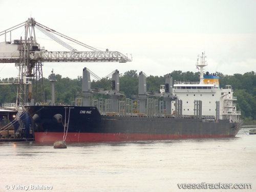
Vessel COYOTE IMO: 9474216, MMSI: 249990000 Bulk Carrier
UTC, -32.21308, 31.48817, course: 243, speed: 12.3
UTC, -32.42185, 30.95285, course: 244, speed: 12.4
2026-02-26 18:10:16 UTC, -32.60982, 30.48707, course: 244, speed: 12.6
Live AIS position:
UTC. 76 nm SE of Port Saint John's),
updated 2026-02-26 18:10:16 UTC.
Find the position of the vessel COYOTE on the map. The latter are known coordinates and path.
marine traffic ship tracker show on live map
The current position of vessel COYOTE is -32.60982 lat / 30.48707 lng. Updated: 2026-02-26 18:10:16 UTCCurrently sailing under the flag of Malta
Details:
Last coordinates of the vessel:
UTC, -32.08719, 31.81772, course: 244, speed: 11.9UTC, -32.21308, 31.48817, course: 243, speed: 12.3
UTC, -32.42185, 30.95285, course: 244, speed: 12.4
2026-02-26 18:10:16 UTC, -32.60982, 30.48707, course: 244, speed: 12.6