 vesseltracker.com
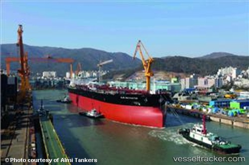
Vessel ALMI NAVIGATOR IMO: 9579561, MMSI: 255915881 Tanker
UTC, 20.02502, -18.86858, course: 25, speed: 11.6
UTC, 20.25656, -18.76736, course: 25, speed: 11.2
2026-02-25 09:30:44 UTC, 20.55692, -18.63608, course: 24, speed: 11.3
Live AIS position:
UTC. 88 nm W of Port Etienne),
updated 2026-02-25 09:30:44 UTC.
Find the position of the vessel ALMI NAVIGATOR on the map. The latter are known coordinates and path.
marine traffic ship tracker show on live map
The current position of vessel ALMI NAVIGATOR is 20.55692 lat / -18.63608 lng. Updated: 2026-02-25 09:30:44 UTCCurrently sailing under the flag of Portugal
Details:
Last coordinates of the vessel:
UTC, 19.52894, -19.08739, course: 26, speed: 11.8UTC, 20.02502, -18.86858, course: 25, speed: 11.6
UTC, 20.25656, -18.76736, course: 25, speed: 11.2
2026-02-25 09:30:44 UTC, 20.55692, -18.63608, course: 24, speed: 11.3