 vesseltracker.com
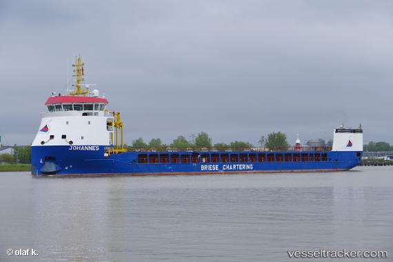
Vessel JOHANNES IMO: 9815343, MMSI: 255915883 Cargo
UTC, 37.10333, -6.85333, course: -1, speed: 0
UTC, 37.10333, -6.85333, course: -1, speed: 0
2026-02-26 11:50:44 UTC, 37.10347, -6.85339, course: -1, speed: 0.1
Live AIS position:
UTC. Near Punta Umbría),
updated 2026-02-26 11:50:44 UTC.
Find the position of the vessel JOHANNES on the map. The latter are known coordinates and path.
marine traffic ship tracker show on live map
The current position of vessel JOHANNES is 37.10347 lat / -6.85339 lng. Updated: 2026-02-26 11:50:44 UTCCurrently sailing under the flag of Portugal
Details:
Last coordinates of the vessel:
UTC, 37.10346, -6.85357, course: -1, speed: 0UTC, 37.10333, -6.85333, course: -1, speed: 0
UTC, 37.10333, -6.85333, course: -1, speed: 0
2026-02-26 11:50:44 UTC, 37.10347, -6.85339, course: -1, speed: 0.1