 vesseltracker.com
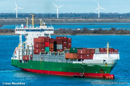
Vessel ELI A IMO: 9326976, MMSI: 255916037 Container Ship
UTC, 42.40554, -8.69309, course: 63, speed: 0
UTC, 42.40550, -8.69317, course: 63, speed: 0
2026-02-25 09:31:00 UTC, 42.40553, -8.69310, course: 63, speed: 0
Live AIS position:
UTC. Near Marin),
updated 2026-02-25 09:31:00 UTC.
Find the position of the vessel ELI A on the map. The latter are known coordinates and path.
marine traffic ship tracker show on live map
The current position of vessel ELI A is 42.40553 lat / -8.69310 lng. Updated: 2026-02-25 09:31:00 UTCCurrently sailing under the flag of Portugal
Details:
Last coordinates of the vessel:
UTC, 42.36441, -8.80140, course: 77, speed: 14.1UTC, 42.40554, -8.69309, course: 63, speed: 0
UTC, 42.40550, -8.69317, course: 63, speed: 0
2026-02-25 09:31:00 UTC, 42.40553, -8.69310, course: 63, speed: 0