 vesseltracker.com
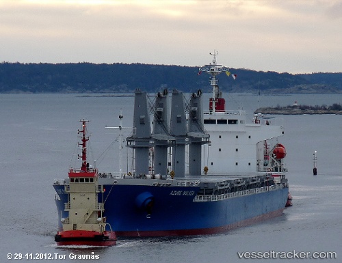
Vessel TSL ROSEMARY IMO: 9527192, MMSI: 256097000 General Cargo Ship
UTC, 49.30333, -123.06667, course: -1, speed: 0
UTC, 49.27353, -123.33486, course: 194, speed: 12.7
2026-02-15 05:45:08 UTC, 49.01986, -123.33454, course: 135, speed: 13.1
Live AIS position:
UTC. Near Robert's Bank),
updated 2026-02-15 05:45:08 UTC.
Find the position of the vessel TSL ROSEMARY on the map. The latter are known coordinates and path.
marine traffic ship tracker show on live map
The current position of vessel TSL ROSEMARY is 49.01986 lat / -123.33454 lng. Updated: 2026-02-15 05:45:08 UTCCurrently sailing under the flag of Malta
TSL ROSEMARY built in 2012 year
Deadweight:
33191 tDetails:
Last coordinates of the vessel:
UTC, 49.30450, -123.06709, course: 83, speed: 0UTC, 49.30333, -123.06667, course: -1, speed: 0
UTC, 49.27353, -123.33486, course: 194, speed: 12.7
2026-02-15 05:45:08 UTC, 49.01986, -123.33454, course: 135, speed: 13.1