 vesseltracker.com
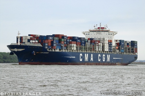
 Cma Cgm Samson
Current Status
Where is the vessel?
Cma Cgm Samson is currently in 18 nm E of Kukdo, based on AIS data received about 7h ago.
Latest AIS update:
Current position: 34.51418° N, 128.80327° E (18 nm E of Kukdo)
Average speed (last 7 days): Loading…
Average speed (last 30 days): Loading…
Vessel profile: Cma Cgm Samson is a Container Ship with dimensions 335m x 335m.
This page combines live AIS, route history, probable destination signals, nearby traffic, and port activity for practical vessel monitoring.
The current position of vessel Cma Cgm Samson is 34.51418 lat / 128.80327 lng. Updated: 2026-03-25 03:32:37 UTCNearest reference points:
- 14 nm E of Kukdo
- 22 nm SE of Kukdo
- 15 nm S of Kukdo
Currently sailing under the flag of Malta ![]()
Cma Cgm Samson built in 2011 year
Deadweight:
101383 tDetails:
Live Vessel Cma Cgm Samson Analytics (details, animations, etc.)
Recent AIS points (UTC):
2026-03-25 01:33:15 UTC · 34.90568, 128.84015 · SOG 7.6 kn · COG 181°2026-03-25 03:32:37 UTC · 34.51418, 128.80327 · SOG 17.5 kn · COG -1°
2026-03-25 03:32:37 UTC · 34.51418, 128.80327 · SOG 17.5 kn · COG -1°
2026-03-25 03:32:37 UTC · 34.51418, 128.80327 · SOG 17.5 kn · COG -1°