 vesseltracker.com
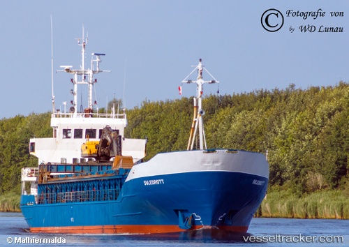
Vessel Barents Ocean IMO: 8318063, MMSI: 257080050 General Cargo Ship
UTC, 69.65908, 18.97191, course: 316, speed: 0
UTC, 69.65908, 18.97190, course: 317, speed: 0
2026-02-27 02:00:29 UTC, 69.65908, 18.97188, course: 316, speed: 0
Live AIS position:
UTC. Near Tromsø),
updated 2026-02-27 02:00:29 UTC.
Find the position of the vessel Barents Ocean on the map. The latter are known coordinates and path.
marine traffic ship tracker show on live map
The current position of vessel Barents Ocean is 69.65908 lat / 18.97188 lng. Updated: 2026-02-27 02:00:29 UTCCurrently sailing under the flag of Norway
Barents Ocean built in 1984 year
Deadweight:
1837 tDetails:
Last coordinates of the vessel:
UTC, 69.65908, 18.97188, course: 316, speed: 0UTC, 69.65908, 18.97191, course: 316, speed: 0
UTC, 69.65908, 18.97190, course: 317, speed: 0
2026-02-27 02:00:29 UTC, 69.65908, 18.97188, course: 316, speed: 0