 vesseltracker.com
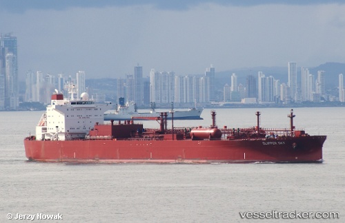
Vessel Clipper Sky IMO: 9277943, MMSI: 257309000 Lpg Tanker
UTC, 17.92187, -52.00805, course: 136, speed: 14.7
UTC, 17.55298, -51.64889, course: 136, speed: 14.3
2026-03-24 15:44:05 UTC, 17.25500, -51.34833, course: -1, speed: 14
Live Vessel Clipper Sky Analytics (details, animations, etc.)
Live AIS position: UTC. 396 nm SW of Upper Northfield), updated 2026-03-24 15:44:05 UTC.Find the position of the vessel Clipper Sky on the map. The latter are known coordinates and path.
marine traffic ship tracker show on live map
The current position of vessel Clipper Sky is 17.25500 lat / -51.34833 lng. Updated: 2026-03-24 15:44:05 UTCDetails:
Last coordinates of the vessel:
UTC, 18.33031, -52.44044, course: 132, speed: 14.5UTC, 17.92187, -52.00805, course: 136, speed: 14.7
UTC, 17.55298, -51.64889, course: 136, speed: 14.3
2026-03-24 15:44:05 UTC, 17.25500, -51.34833, course: -1, speed: 14