 vesseltracker.com
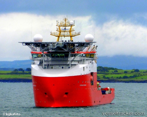
Vessel Normand Reach IMO: 9687241, MMSI: 258594000 Offshore Support Vessel
UTC, -23.08000, -40.86500, course: -1, speed: 0
UTC, -23.08000, -40.86500, course: -1, speed: 0
2026-02-14 20:15:06 UTC, -23.23416, -40.42325, course: 102, speed: 8.6
Live AIS position:
UTC. 35 nm S of Fluminense FPSO),
updated 2026-02-14 20:15:06 UTC.
Find the position of the vessel Normand Reach on the map. The latter are known coordinates and path.
marine traffic ship tracker show on live map
The current position of vessel Normand Reach is -23.23416 lat / -40.42325 lng. Updated: 2026-02-14 20:15:06 UTCDetails:
Last coordinates of the vessel:
UTC, -23.08167, -40.86667, course: -1, speed: 0UTC, -23.08000, -40.86500, course: -1, speed: 0
UTC, -23.08000, -40.86500, course: -1, speed: 0
2026-02-14 20:15:06 UTC, -23.23416, -40.42325, course: 102, speed: 8.6