 vesseltracker.com
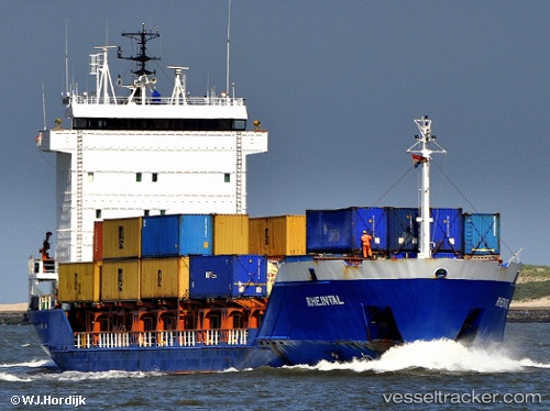
Vessel HELEN H IMO: 9139115, MMSI: 268253501 General Cargo
UTC, 33.48733, 26.57110, course: 311, speed: 6.9
UTC, 33.48733, 26.57110, course: 311, speed: 6.9
2026-02-24 02:46:50 UTC, 33.48733, 26.57110, course: 311, speed: 6.9
Live AIS position:
UTC. 42 nm SE of Polychnitos Lesvou),
updated 2026-02-24 02:46:50 UTC.
Find the position of the vessel HELEN H on the map. The latter are known coordinates and path.
marine traffic ship tracker show on live map
The current position of vessel HELEN H is 33.48733 lat / 26.57110 lng. Updated: 2026-02-24 02:46:50 UTCCurrently sailing under the flag of San Marino
Details:
Last coordinates of the vessel:
UTC, 33.42838, 26.64881, course: 317, speed: 6.4UTC, 33.48733, 26.57110, course: 311, speed: 6.9
UTC, 33.48733, 26.57110, course: 311, speed: 6.9
2026-02-24 02:46:50 UTC, 33.48733, 26.57110, course: 311, speed: 6.9