 vesseltracker.com
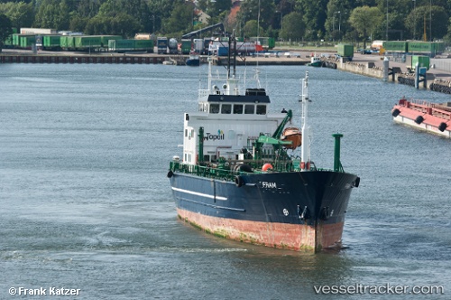
Vessel CONRAD H IMO: 8412235, MMSI: 268258303 Oil Products Tanker
UTC, 17.86052, -77.08671, course: 46, speed: 0
UTC, 17.86042, -77.08660, course: -1, speed: 0
2026-02-25 10:04:32 UTC, 17.86043, -77.08661, course: 20, speed: 0
Live AIS position:
UTC. Near Old Harbour),
updated 2026-02-25 10:04:32 UTC.
Find the position of the vessel CONRAD H on the map. The latter are known coordinates and path.
marine traffic ship tracker show on live map
The current position of vessel CONRAD H is 17.86043 lat / -77.08661 lng. Updated: 2026-02-25 10:04:32 UTCCurrently sailing under the flag of San Marino
Details:
Last coordinates of the vessel:
UTC, 17.86050, -77.08674, course: -1, speed: 0.1UTC, 17.86052, -77.08671, course: 46, speed: 0
UTC, 17.86042, -77.08660, course: -1, speed: 0
2026-02-25 10:04:32 UTC, 17.86043, -77.08661, course: 20, speed: 0