 vesseltracker.com
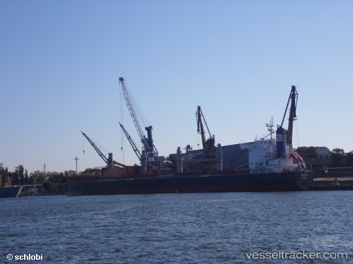
Vessel Turicum IMO: 9583110, MMSI: 269025000 Bulk Carrier
UTC, 36.08916, -62.82134, course: 52, speed: 11.7
UTC, 36.17901, -62.63536, course: 52, speed: 11.9
2026-02-25 03:25:19 UTC, 36.42500, -62.20833, course: -1, speed: 12
Live AIS position:
UTC. 272 nm NE of Saint George),
updated 2026-02-25 03:25:19 UTC.
Find the position of the vessel Turicum on the map. The latter are known coordinates and path.
marine traffic ship tracker show on live map
The current position of vessel Turicum is 36.42500 lat / -62.20833 lng. Updated: 2026-02-25 03:25:19 UTCDetails:
Last coordinates of the vessel:
UTC, 35.87167, -63.19667, course: -1, speed: 11UTC, 36.08916, -62.82134, course: 52, speed: 11.7
UTC, 36.17901, -62.63536, course: 52, speed: 11.9
2026-02-25 03:25:19 UTC, 36.42500, -62.20833, course: -1, speed: 12