 vesseltracker.com
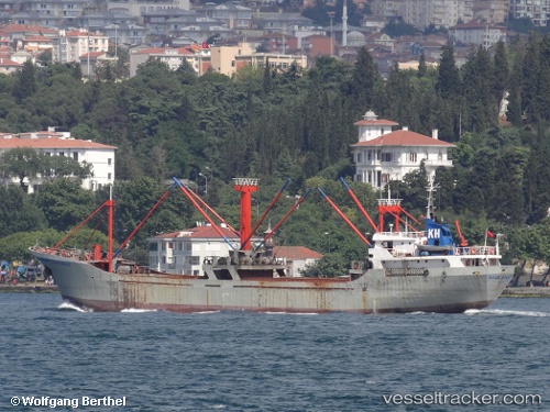
Vessel Kaan Sonay IMO: 8139302, MMSI: 271002119 General Cargo Ship
UTC, 40.66866, 27.65571, course: -1, speed: 0
UTC, 40.65627, 27.66014, course: -1, speed: 0
2026-02-10 23:33:56 UTC, 40.65627, 27.66014, course: -1, speed: 0
Live AIS position:
UTC. Near Marmara Island ),
updated 2026-02-10 23:33:56 UTC.
Find the position of the vessel Kaan Sonay on the map. The latter are known coordinates and path.
marine traffic ship tracker show on live map
The current position of vessel Kaan Sonay is 40.65627 lat / 27.66014 lng. Updated: 2026-02-10 23:33:56 UTCDetails:
Last coordinates of the vessel:
UTC, 40.66870, 27.65564, course: -1, speed: 0UTC, 40.66866, 27.65571, course: -1, speed: 0
UTC, 40.65627, 27.66014, course: -1, speed: 0
2026-02-10 23:33:56 UTC, 40.65627, 27.66014, course: -1, speed: 0