 vesseltracker.com
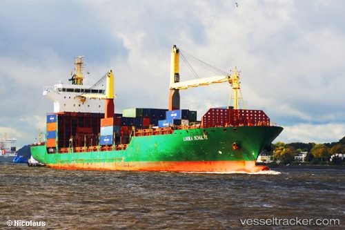
Vessel NARA IMO: 9289063, MMSI: 271051022 Container Ship
UTC, -6.74507, 39.33284, course: 170, speed: 0
UTC, -6.74539, 39.33224, course: 158, speed: 0
2026-02-27 18:11:27 UTC, -6.74533, 39.33224, course: 155, speed: 0.1
Live AIS position:
UTC. Near Dar es Salaam),
updated 2026-02-27 18:11:27 UTC.
Find the position of the vessel NARA on the map. The latter are known coordinates and path.
marine traffic ship tracker show on live map
The current position of vessel NARA is -6.74533 lat / 39.33224 lng. Updated: 2026-02-27 18:11:27 UTCCurrently sailing under the flag of Turkey
Details:
Last coordinates of the vessel:
UTC, -6.74514, 39.33238, course: 151, speed: 0UTC, -6.74507, 39.33284, course: 170, speed: 0
UTC, -6.74539, 39.33224, course: 158, speed: 0
2026-02-27 18:11:27 UTC, -6.74533, 39.33224, course: 155, speed: 0.1