 vesseltracker.com
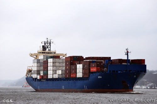
 TURKON RIZE
Current Status
Where is the vessel?
TURKON RIZE is currently in 78 nm SW of Al Qahmah, based on AIS data received about 3h ago.
Latest AIS update:
Current position: 17.22355° N, 40.58488° E (78 nm SW of Al Qahmah)
Average speed (last 7 days): Loading…
Average speed (last 30 days): Loading…
Vessel profile: TURKON RIZE is a Container Ship with dimensions m x m.
This page combines live AIS, route history, probable destination signals, nearby traffic, and port activity for practical vessel monitoring.
The current position of vessel TURKON RIZE is 17.22355 lat / 40.58488 lng. Updated: 2026-03-25 07:31:57 UTCNearest reference points:
- 92 nm SW of Al Qahmah
- 81 nm NW of As Salif
- 99 nm SW of Al Qunfudah
Currently sailing under the flag of Turkey ![]()
Details:
Live Vessel TURKON RIZE Analytics (details, animations, etc.)
Recent AIS points (UTC):
2026-03-25 01:26:26 UTC · 15.88058, 41.38701 · SOG 15.3 kn · COG 325°2026-03-25 03:31:11 UTC · 16.32128, 41.08841 · SOG 14.9 kn · COG 328°
2026-03-25 05:15:21 UTC · 16.69902, 40.86427 · SOG 15 kn · COG 333°
2026-03-25 07:31:57 UTC · 17.22355, 40.58488 · SOG 15.7 kn · COG 332°