 vesseltracker.com
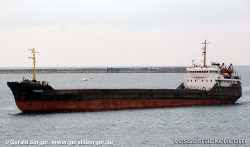
Vessel Porada IMO: 7235068, MMSI: 272544000 General Cargo Ship
Live Vessel Porada Analytics (details, animations, etc.)
Live AIS position: UTC. Near TULCEA), updated 2026-03-16 10:37:06 UTC.Find the position of the vessel Porada on the map. The latter are known coordinates and path.
marine traffic ship tracker show on live map
The current position of vessel Porada is 45.30917 lat / 28.88567 lng. Updated: 2026-03-16 10:37:06 UTCCurrently sailing under the flag of Ukraine
Porada built in 1972 year
Deadweight:
3134 tDetails:
Last coordinates of the vessel:
2026-03-16 10:37:06 UTC, 45.30917, 28.88567, course: -1, speed: 0