 vesseltracker.com
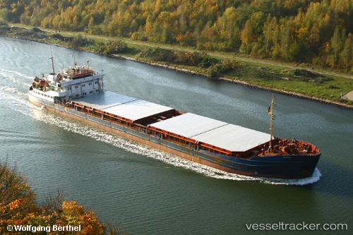
Vessel Oneriva 42 IMO: 8862325, MMSI: 273330700 General Cargo Ship
UTC, 46.04167, 47.66000, course: -1, speed: 7
UTC, 46.04167, 47.66000, course: -1, speed: 7
2026-02-26 23:19:02 UTC, 46.04167, 47.66000, course: -1, speed: 7
Live AIS position:
UTC. Near Ikryanoye),
updated 2026-02-26 23:19:02 UTC.
Find the position of the vessel Oneriva 42 on the map. The latter are known coordinates and path.
marine traffic ship tracker show on live map
The current position of vessel Oneriva 42 is 46.04167 lat / 47.66000 lng. Updated: 2026-02-26 23:19:02 UTCDetails:
Last coordinates of the vessel:
UTC, 46.03713, 47.65915, course: 359, speed: 40.1UTC, 46.04167, 47.66000, course: -1, speed: 7
UTC, 46.04167, 47.66000, course: -1, speed: 7
2026-02-26 23:19:02 UTC, 46.04167, 47.66000, course: -1, speed: 7