 vesseltracker.com
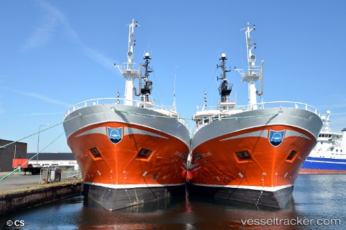
Vessel Torland IMO: 9217864, MMSI: 273391550 Fishing Vessel
UTC, 43.82687, 146.74712, course: 110, speed: 0
UTC, 43.82688, 146.74712, course: 110, speed: 0
2026-02-05 17:18:25 UTC, 43.82773, 146.74635, course: 292, speed: 0
Live AIS position:
UTC. Near Malokurilskoe),
updated 2026-02-05 17:18:25 UTC.
Find the position of the vessel Torland on the map. The latter are known coordinates and path.
marine traffic ship tracker show on live map
The current position of vessel Torland is 43.82773 lat / 146.74635 lng. Updated: 2026-02-05 17:18:25 UTCDetails:
Last coordinates of the vessel:
UTC, 43.82687, 146.74712, course: 110, speed: 0UTC, 43.82687, 146.74712, course: 110, speed: 0
UTC, 43.82688, 146.74712, course: 110, speed: 0
2026-02-05 17:18:25 UTC, 43.82773, 146.74635, course: 292, speed: 0