 vesseltracker.com
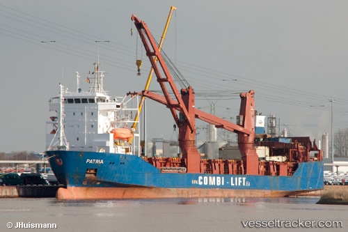
Vessel Patria IMO: 9159921, MMSI: 273394340 Ro Ro Cargo Ship
UTC, -31.14833, 15.03667, course: -1, speed: 12
UTC, -30.91932, 14.95945, course: 340, speed: 12.1
2026-02-28 09:30:43 UTC, -30.49009, 14.82064, course: 339, speed: 12.3
Live AIS position:
UTC. 129 nm W of Koiingnaas),
updated 2026-02-28 09:30:43 UTC.
Find the position of the vessel Patria on the map. The latter are known coordinates and path.
marine traffic ship tracker show on live map
The current position of vessel Patria is -30.49009 lat / 14.82064 lng. Updated: 2026-02-28 09:30:43 UTCDetails:
Last coordinates of the vessel:
UTC, -31.69833, 15.21333, course: -1, speed: 12UTC, -31.14833, 15.03667, course: -1, speed: 12
UTC, -30.91932, 14.95945, course: 340, speed: 12.1
2026-02-28 09:30:43 UTC, -30.49009, 14.82064, course: 339, speed: 12.3